


Lentua Kanutour 19,5 km, Kuhmo Finnland


Lake Lentua area offers excellent opportunities for shorter and longer trips on the waters and passing the Lentua Nature Reserve this canoeing route is ideal for a day trip destination. Lentua is also...
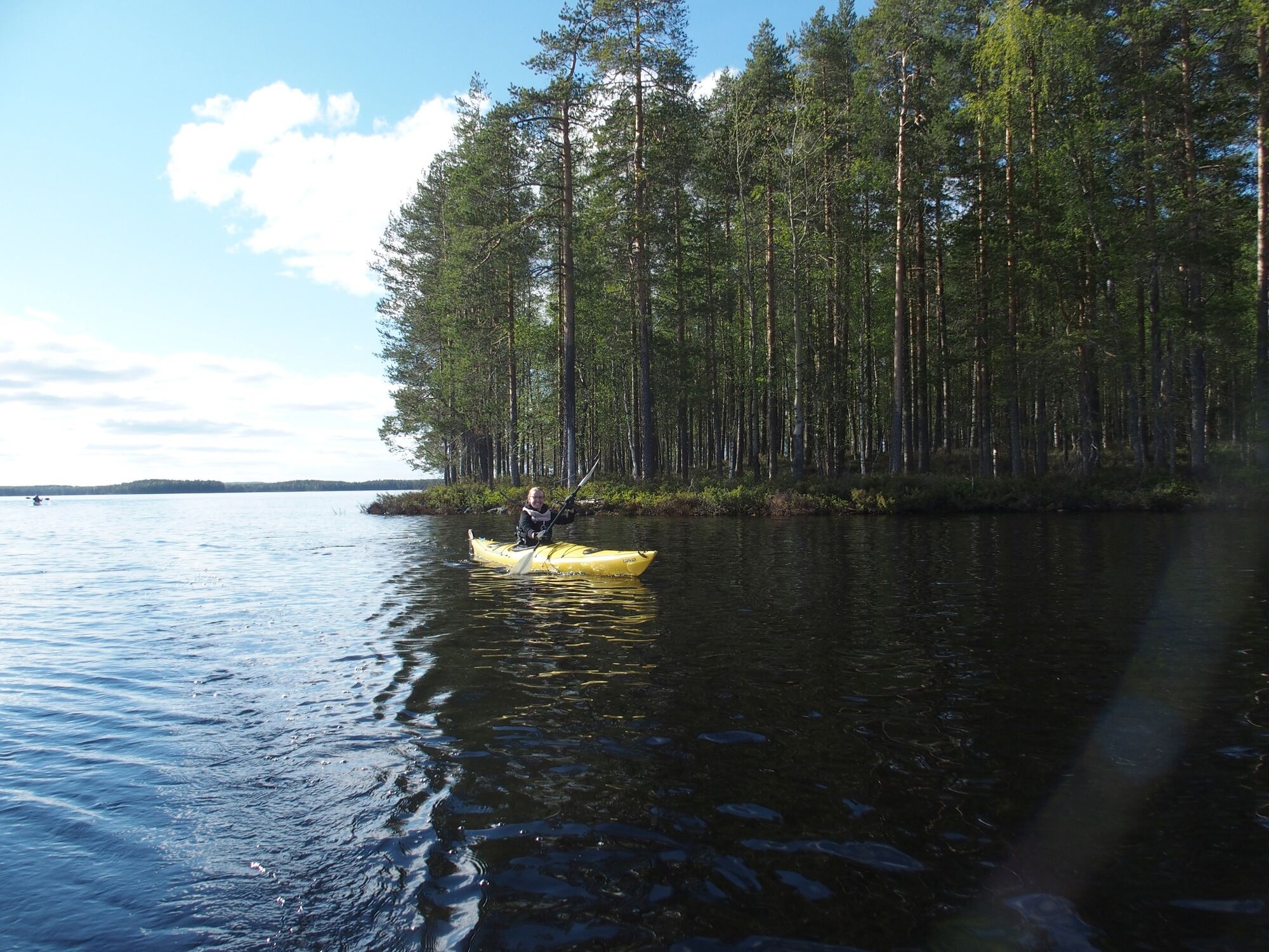
Lake Lentua area offers excellent opportunities for shorter and longer trips on the waters and passing the Lentua Nature Reserve this canoeing route is ideal for a day trip destination. Lentua is also familiar to Finns through the Finnish painter Akseli Gallen-Kallela's illustrations based on Finland's national epic, the Kalevala, and the writings of Veikko Huovinen, a popular Finnish author. The wide backwaters, as well as the sheltered sides of the islands, attract visitors to the lake. Natural beaches can be easily reached by canoe or kayak and along the route, there are several campfire sites and wilderness huts. Particularly in the middle of the route, the Lehtosaari wilderness hut, originally built as a fishing lodge and with a sauna, should be included into the excursion. Lake Lentua is part of the main Tervareitti Route between Lake Änättijärvi and Kajaani.

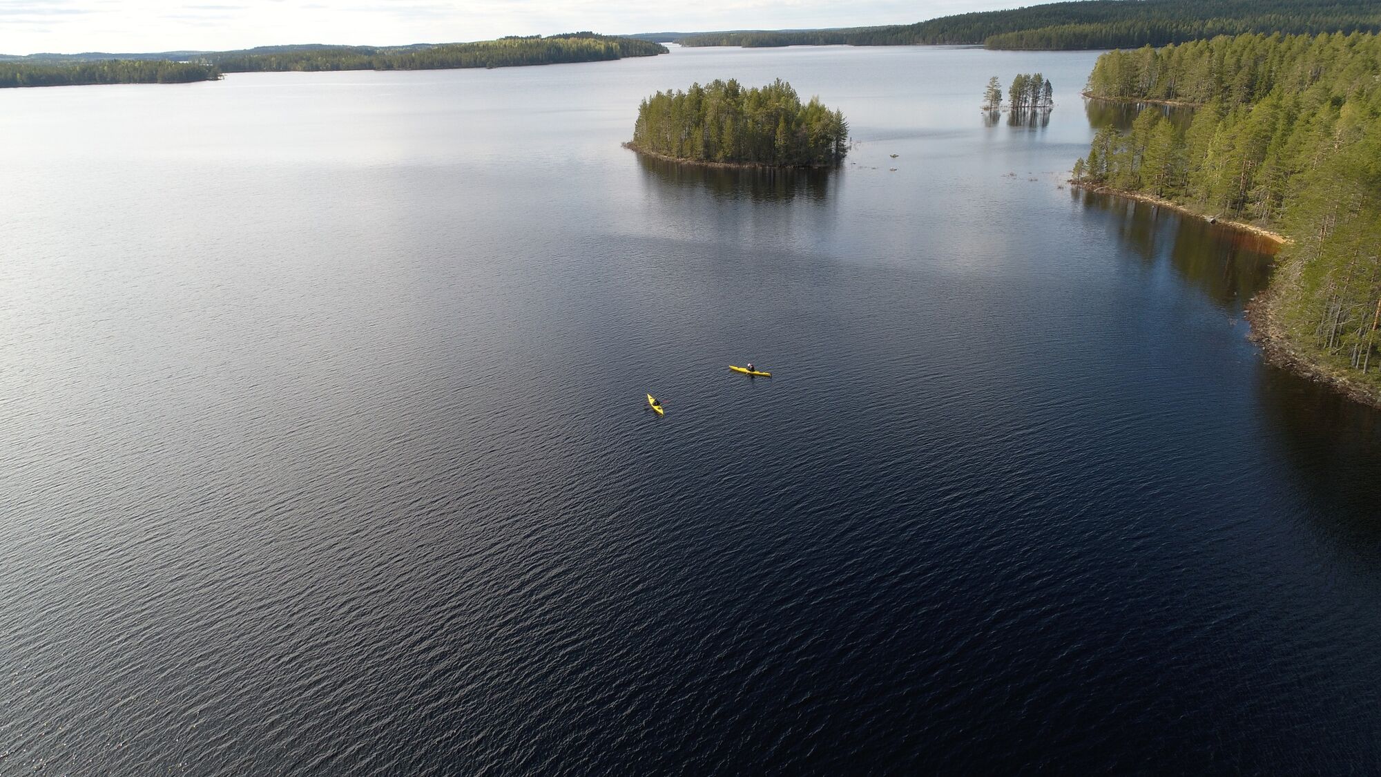
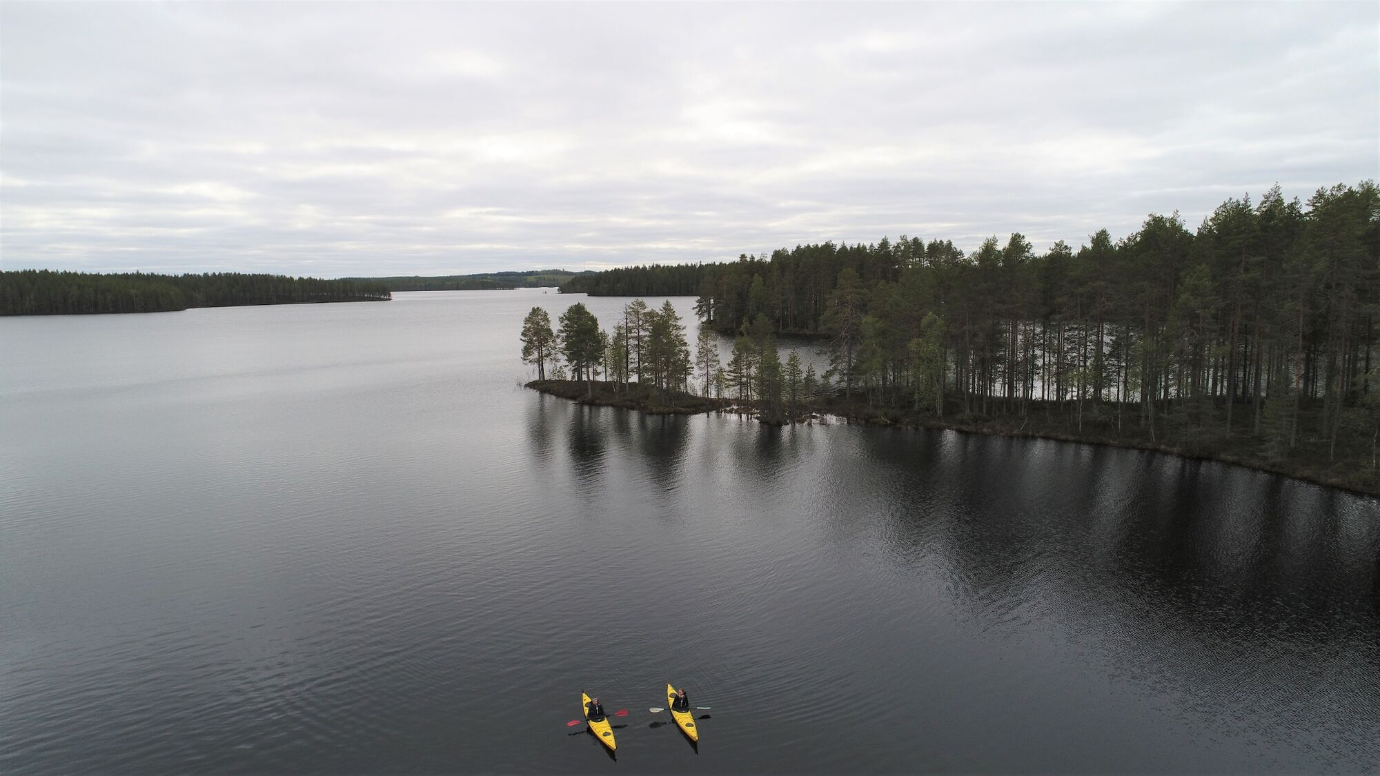
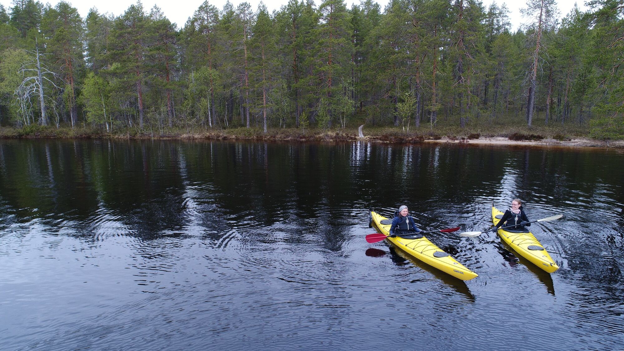
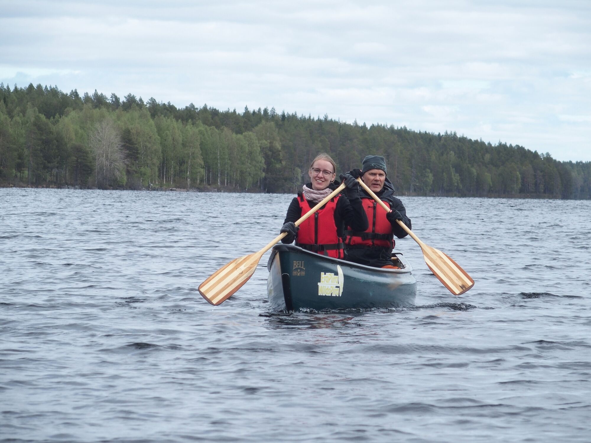
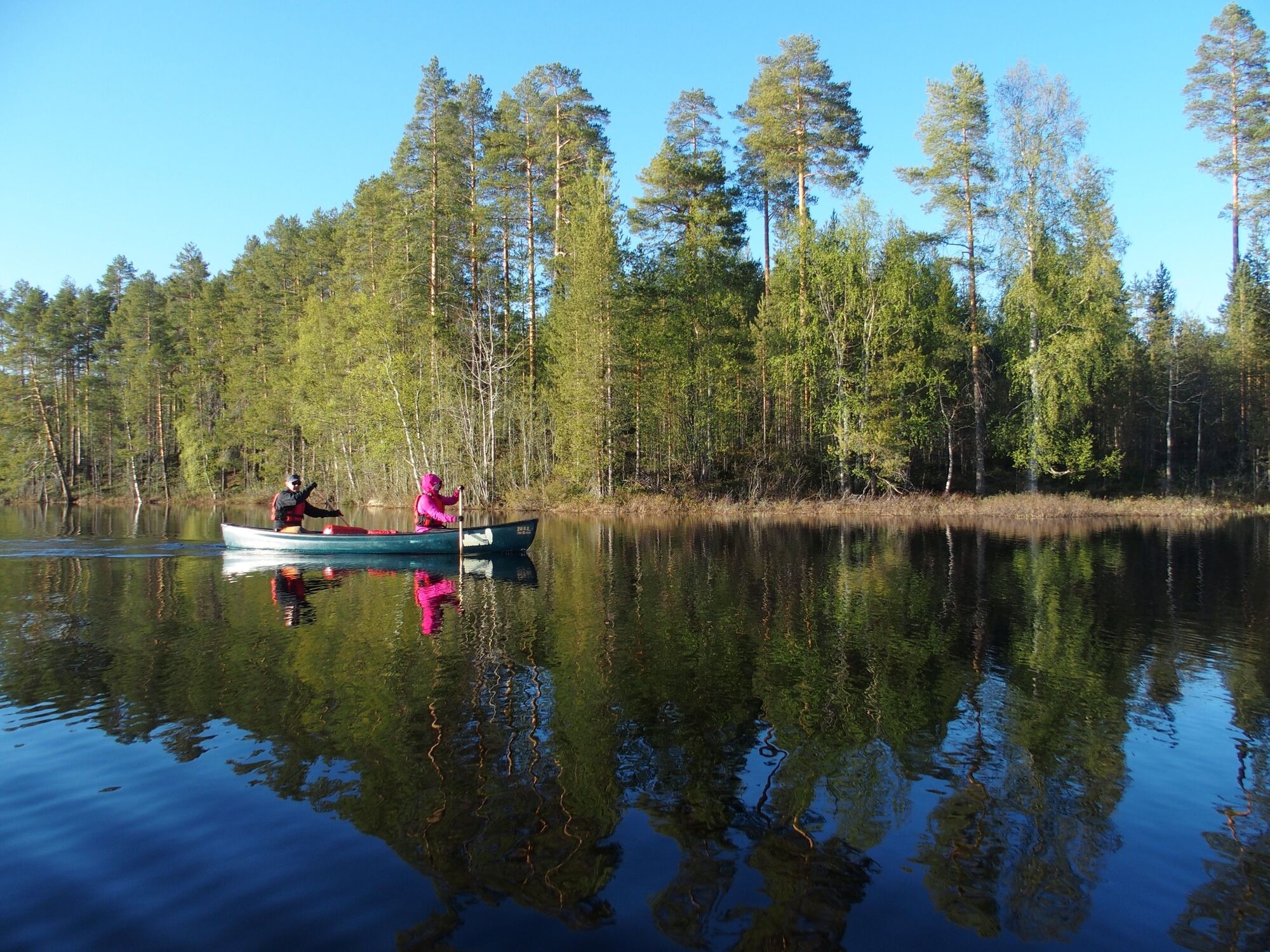
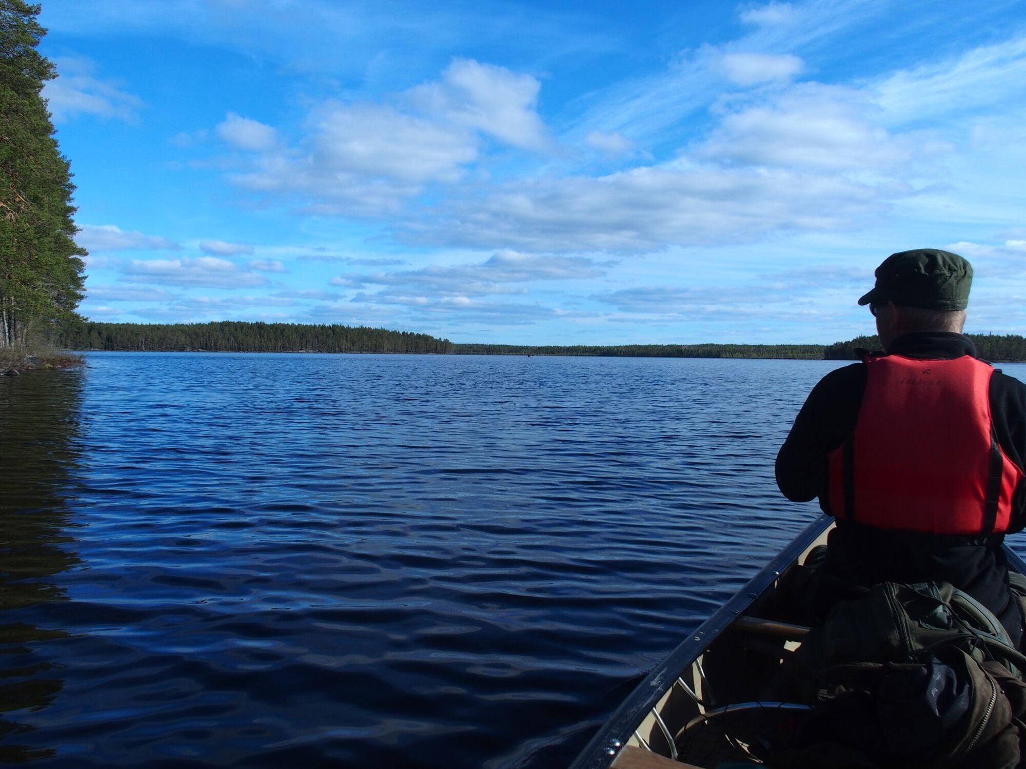
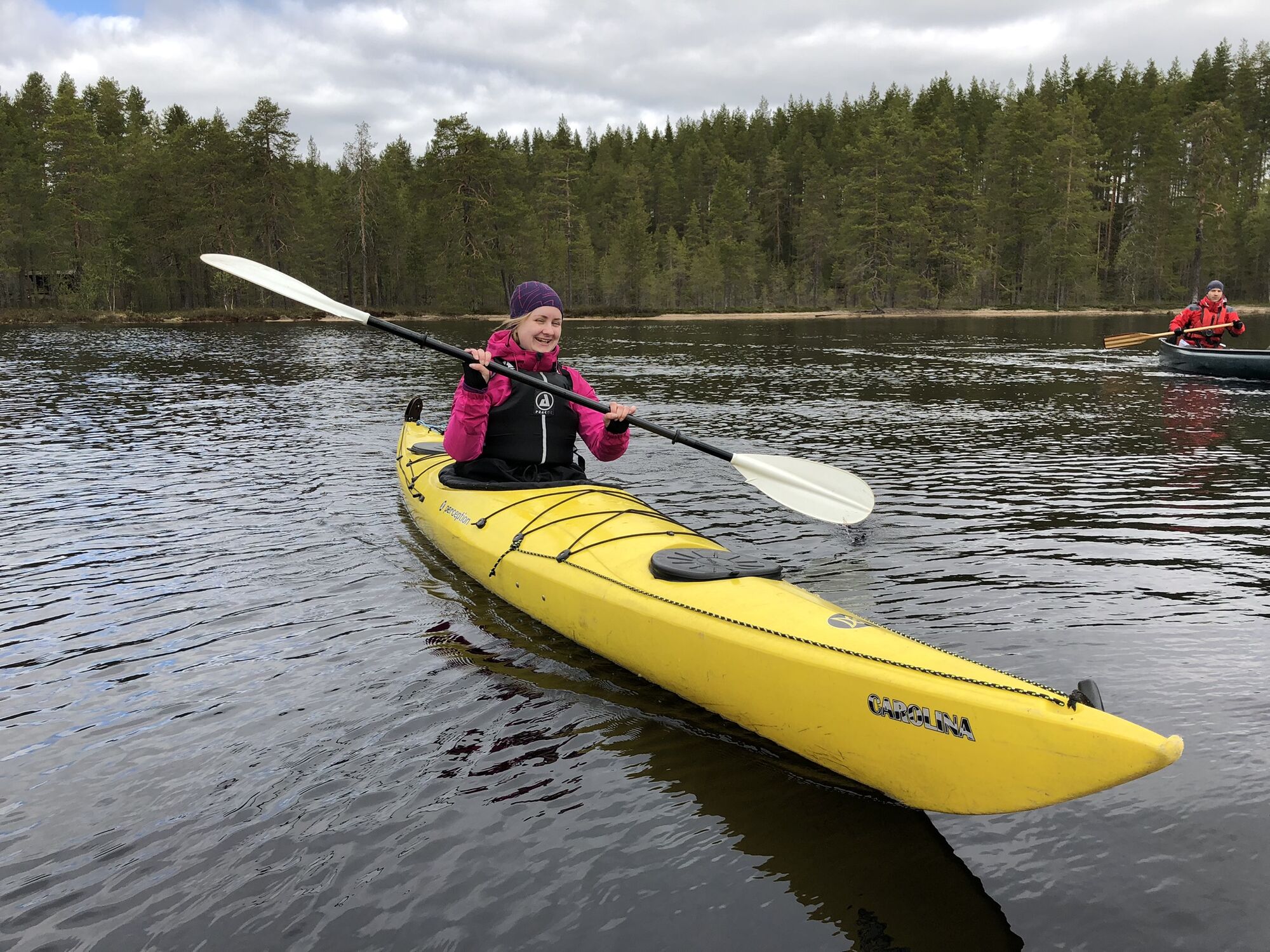
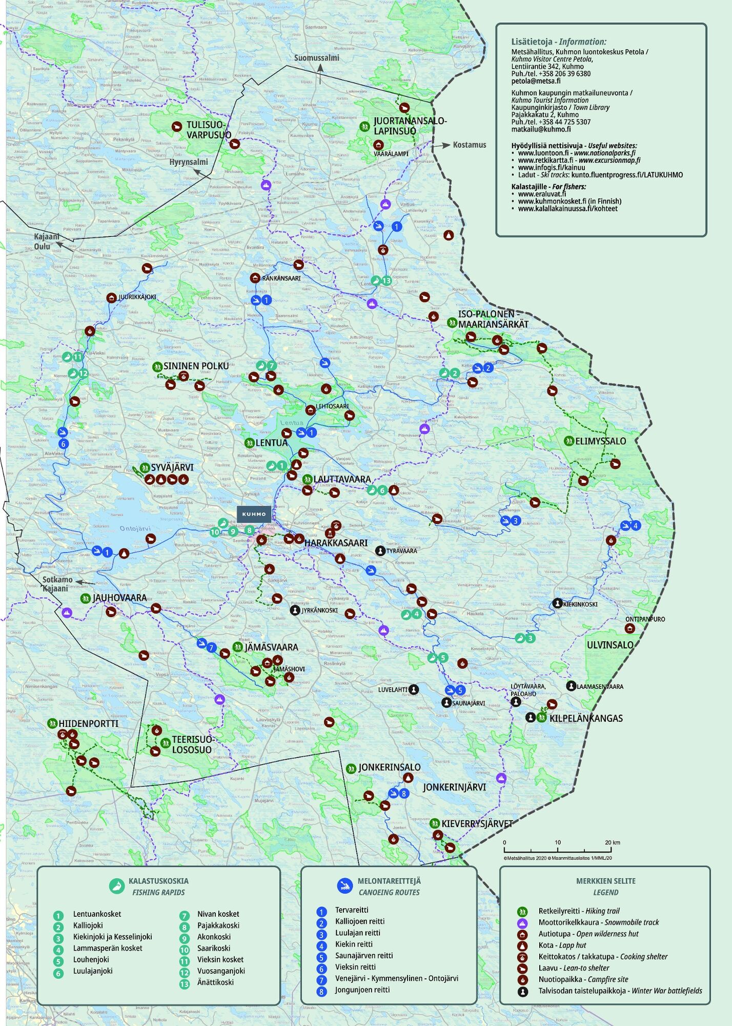
The starting point of the route is located along the Kuhmo-Vartius road, near the bridge of the River Isojoki, address Lentiirantie 2172, 88900 Kuhmo. The ramp allows you to reverse the trailer to the shore and you can leave the car at a stopping place next to the starting point. The canoeing route starts by going under the bridge to the west and follows the river to lake Lentua. Upon coming to Lentua and traveling the route counter-clockwise, follow the Syväniemi shore to the northwest towards Multisaari island. Continue on the side of Multisaari towards Kotasaari island, where the route turns back to the west. There is about 4.5 kilometers canoeing to Kotasaari and the lean-to shelter in the bay offers a great place for a break. At the end of Kotasaari there is a narrow riverbed. After Kotasaari, the route opens on lake Lentua and continues west towards Lehtosaari islands and wilderness hut, where you can also stay overnight. There can be windy at the lake, so if necessary take advantage of the wind protection provided by Tynisaari or Varissalo. The main attraction of the Lehtosaari wilderness hut is the traditional sauna on the beach. In high winds from the south or southwest, you can return the entry route back to the starting point. After the break route continues, if the winds allow, to the south and turn to the east after Varisniemi following the shores of Varissalo island. After about 6 kilometers of canoeing, Honkisaari island has an old covered drying barn (not equipped as a wilderness hut) and campfire site for a short break. The remaining part of the route continues to the east. You can bypass the Varpusaari island either south or north side. After Varpusaari route continues towards the Isojoki River and the starting point.
Canoe and kayak rental, transportation and guided tours are offered by program service company Eräpiira.
The route should be planned according to your skills and suitable speed for calmly paddling is about 4 kilometers per hour.
Prepare for high waves in windy weather. Use the shelter of the islands along the canoeing route.
Safety guidelines for paddling
Current warnings for land and sea areas
In case of emergency, call 112 and report an emergency.
Arriving from the south, the Isojoki River starting point is about 22 kilometers north towards the Kuhmo-Vartius road (912) from the Kuhmo city center.
Arriving from the north, the Isojoki River starting point is about 19 kilometers south towards the Kuhmo-Vartius road (912) from the Lentiira village.
When using the navigator, enter Lentiirantie 2172, 88900 Kuhmo as the address.
Lentua Nature Reserve cannot be reached by public transportation.
The starting point of the route is located along the Kuhmo-Vartius road, near the bridge of the River Isojoki.
Exact address Lentiirantie 2172, 88900 Kuhmo.
The car can be parked at a stopping place next to the launch pad.
The Kalliojoki Route coming from the east ends in Lentua, so you can easily combine these two routes or you can continue along the so-called Sotkamo Route or Tervareitti Route.
In addition to canoeing, you can try also other activities such as fishing and swimming in the stunning sandy and rocky beaches.
Beliebte Touren in der Nähe
Canoeing on lakes of the Lentua nature reserve 50 km, Kuhmo
mittelKajak / Kanu50,2 kmThe Kainuu Tar Route's waterway / Stage 1: Änätti - Kuhmo, 70 km
schwerKajak / Kanu70,5 kmPaddling from the town center to Lentuankoski, 8/16 km, Kuhmo
mittelKajak / Kanu7,54 kmLentuankoski barrierefreier Stromschnellenpfad 0,8 km, Kuhmo Finnland
leichtThemenweg0,77 kmLauttavaara Naturpfad 2,5 km, Kuhmo Finnland
leichtThemenweg2,27 kmLieksa
Motorrad362,1 km
Wandern & Tracking


Verpasse keine Angebote und Inspirationen für deinen nächsten Urlaub
Deine E-Mail-Adresse wurde in den Verteiler eingetragen.