32.05 Poschiavo - Tirano, Trans Altarezia Bike


- Kurzbeschreibung
-
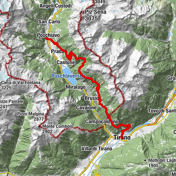
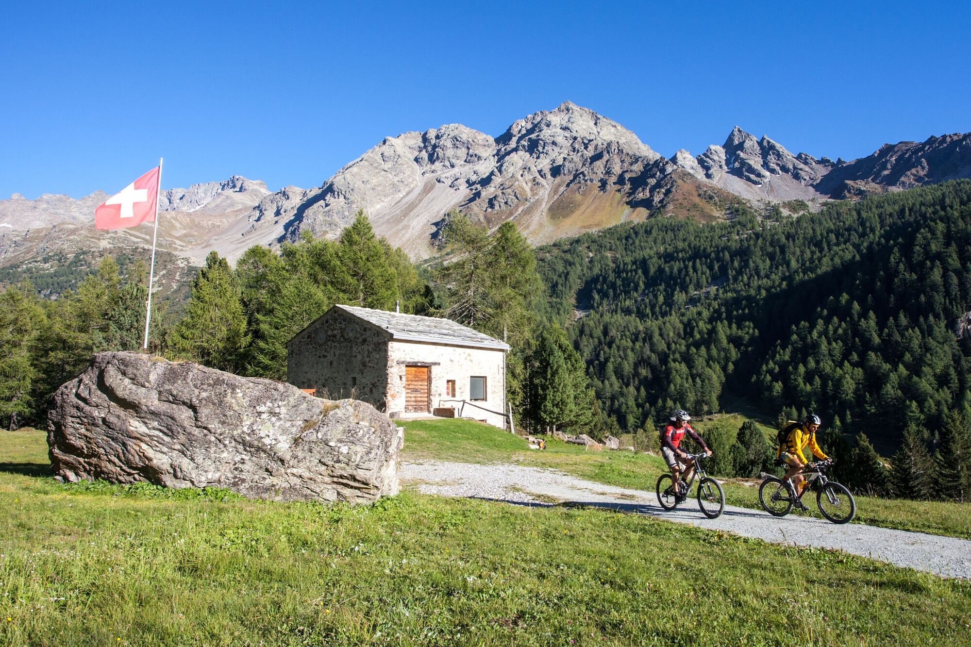
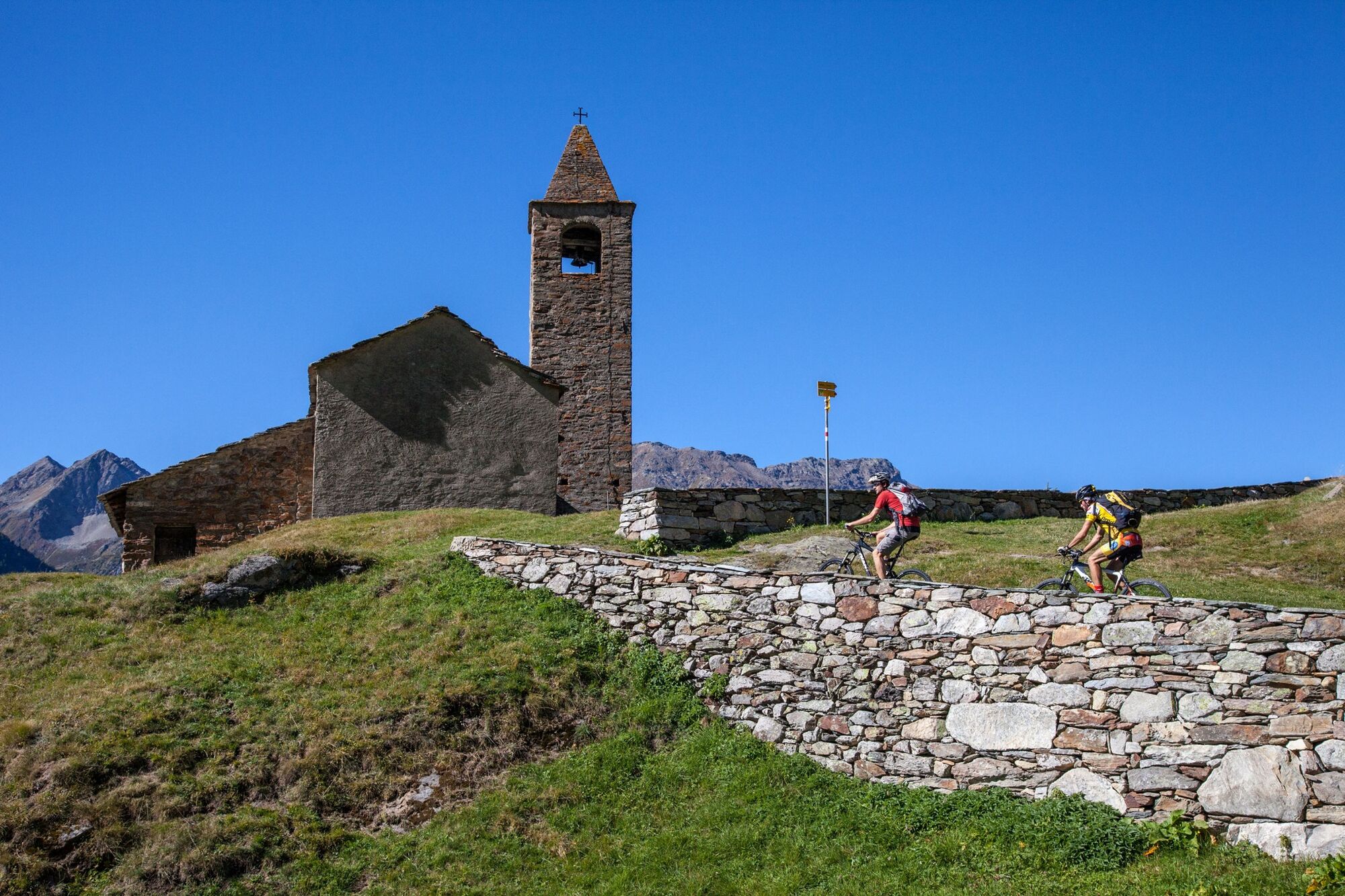
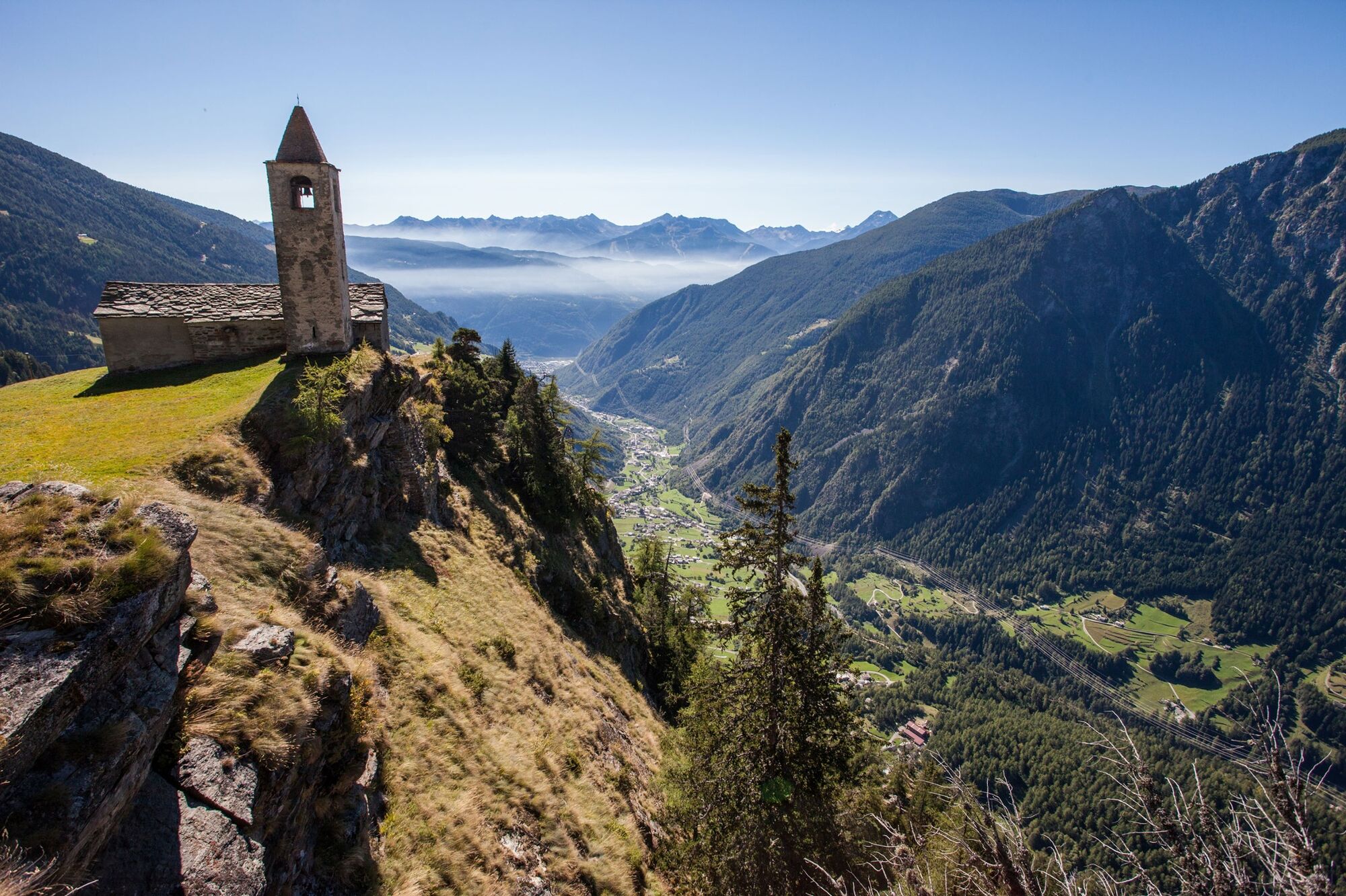
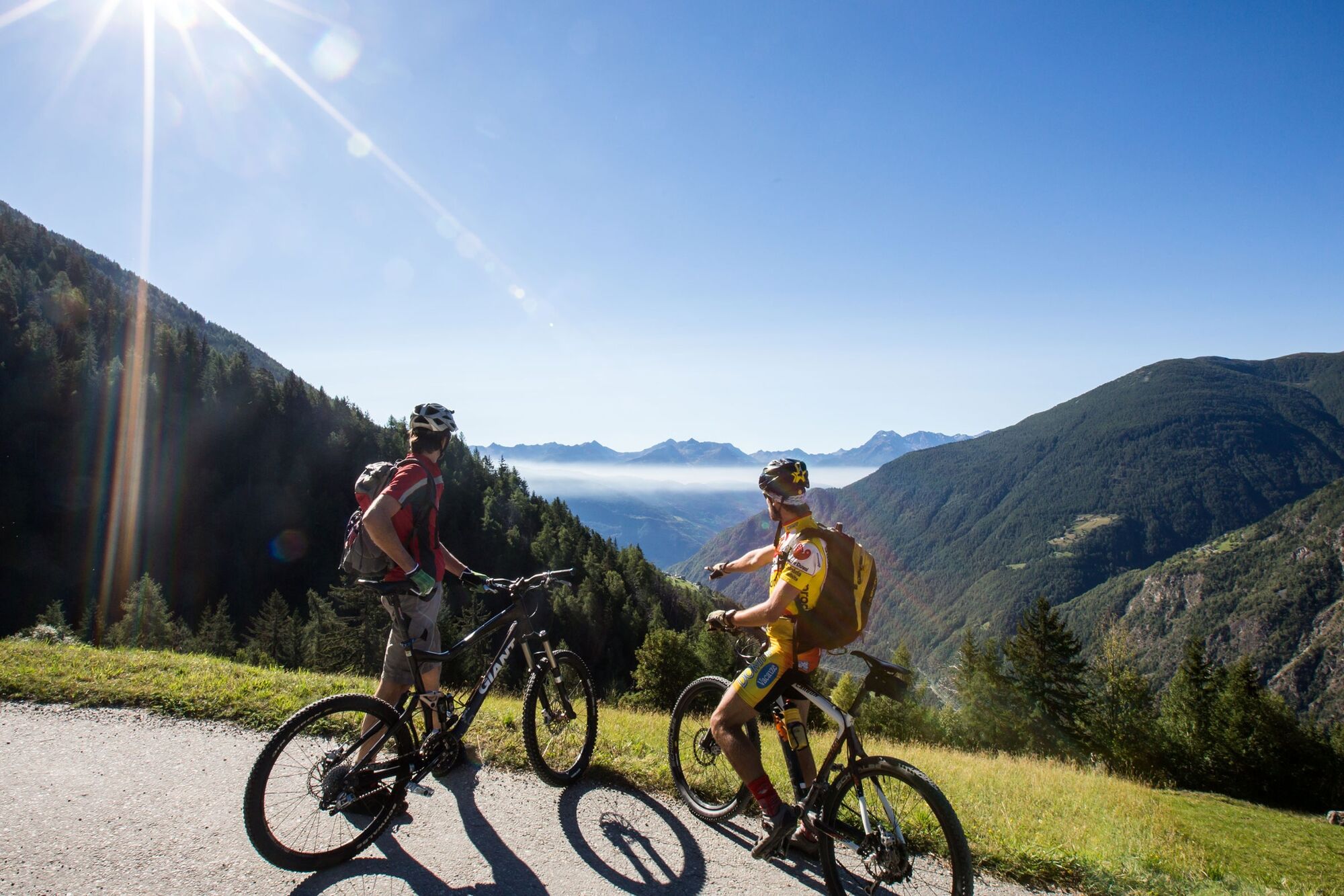
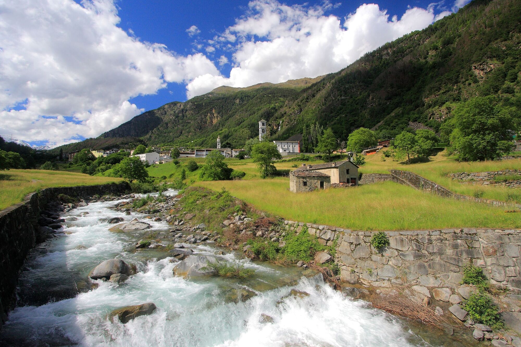
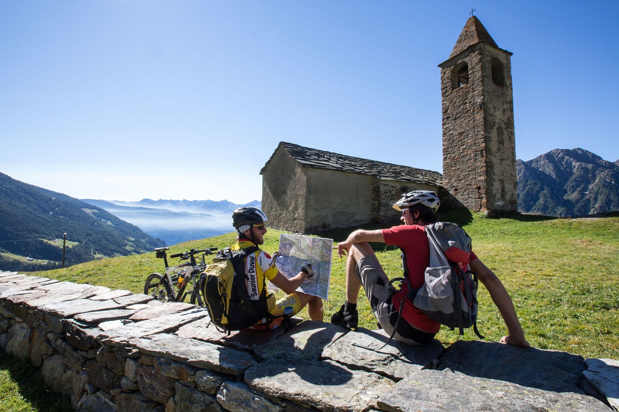
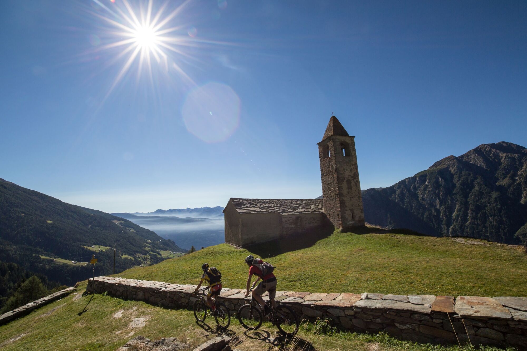
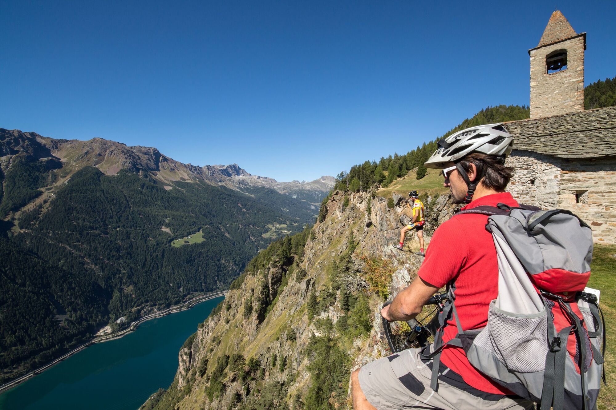
The single trail begins, after a good 1000-metre ascent. It runs more or less along the ridgeline, to Alpe San Romerio and then via Viano along the old smugglers' routes and through vineyards via Baruffini down to Tirano, the final destination on the route.
- Schwierigkeit
-
mittel
- Bewertung
-
- Ausgangspunkt
-
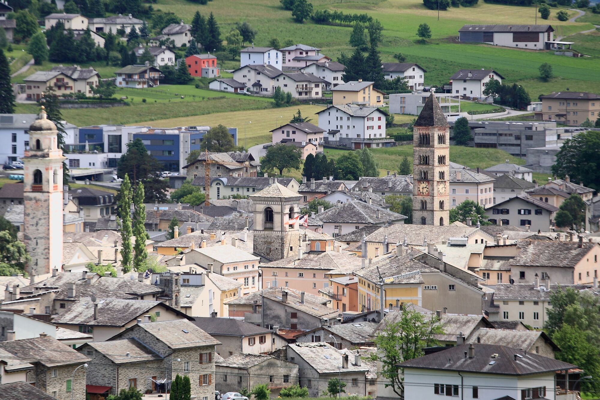
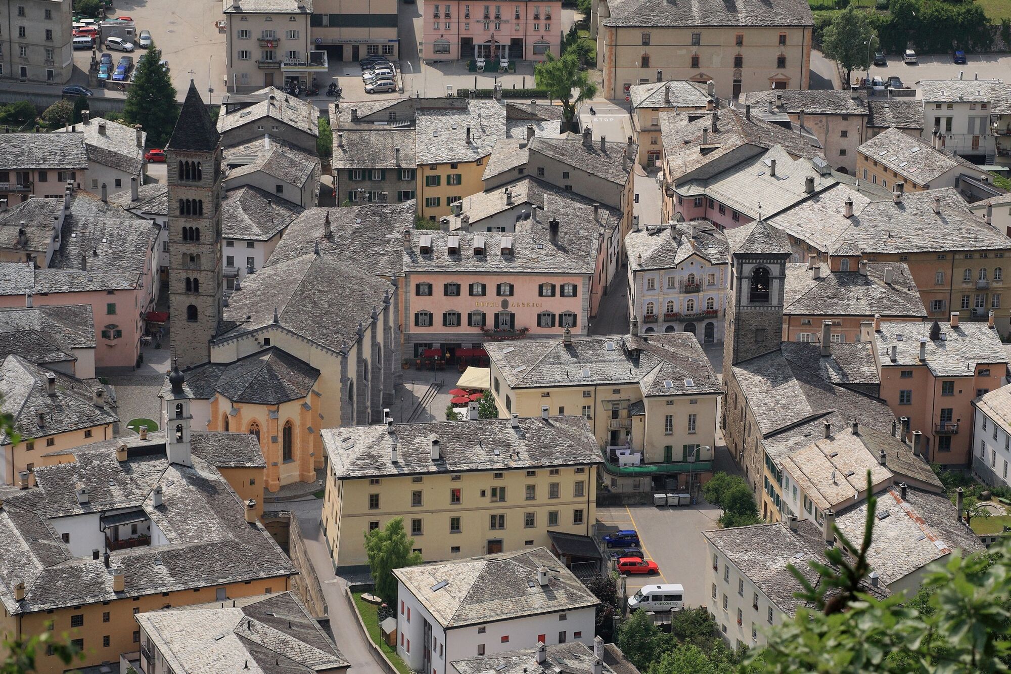
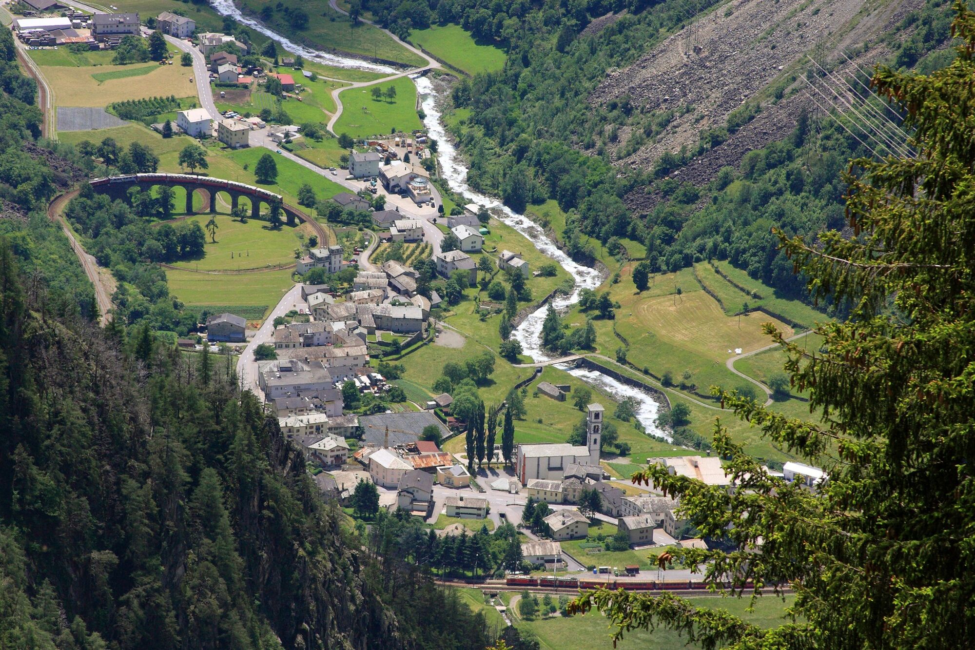
Poschiavo
- Wegverlauf
-
Puschlav (1.014 m)Poschiavo (1.014 m)0,1 kmFondovilla0,4 kmCologna1,6 kmSan Romerio13,7 kmAlpe San Romerio13,8 kmViano19,7 kmI Ruman19,9 kmPensione Monigatti20,0 kmLa Bosca22,7 kmL'Cuc22,8 kmLa Piata23,1 kmCamp Lunc23,3 kmLi Brati23,7 kmLa Crus24,0 kmPiazzo24,4 kmLi Biorchi24,5 kmSan Pietro Martire26,0 kmTrattoria Del Simone26,1 kmBaruffini26,1 kmTirano (441 m)29,1 km
- Beste Jahreszeit
-
JanFebMärAprMaiJunJulAugSepOktNovDez
- Beschreibung
-
Nach gut 1000 Höhenmetern Aufstieg beginnt der Singletrail, mehr oder weniger entlang der Höhenlinie, zur Alpe San Romerio und anschliessend über Viano über die alten Schmuggelpfade und durch die Weinberge über Baruffini hinunter nach Tirano, dem Endziel der Route.
- Wegbeschreibung
-
Diese Route ist nur in eine Richtung signalisiert: Poschiavo–Tirano (I).
- Höchster Punkt
- 1.905 m
- Zielpunkt
-
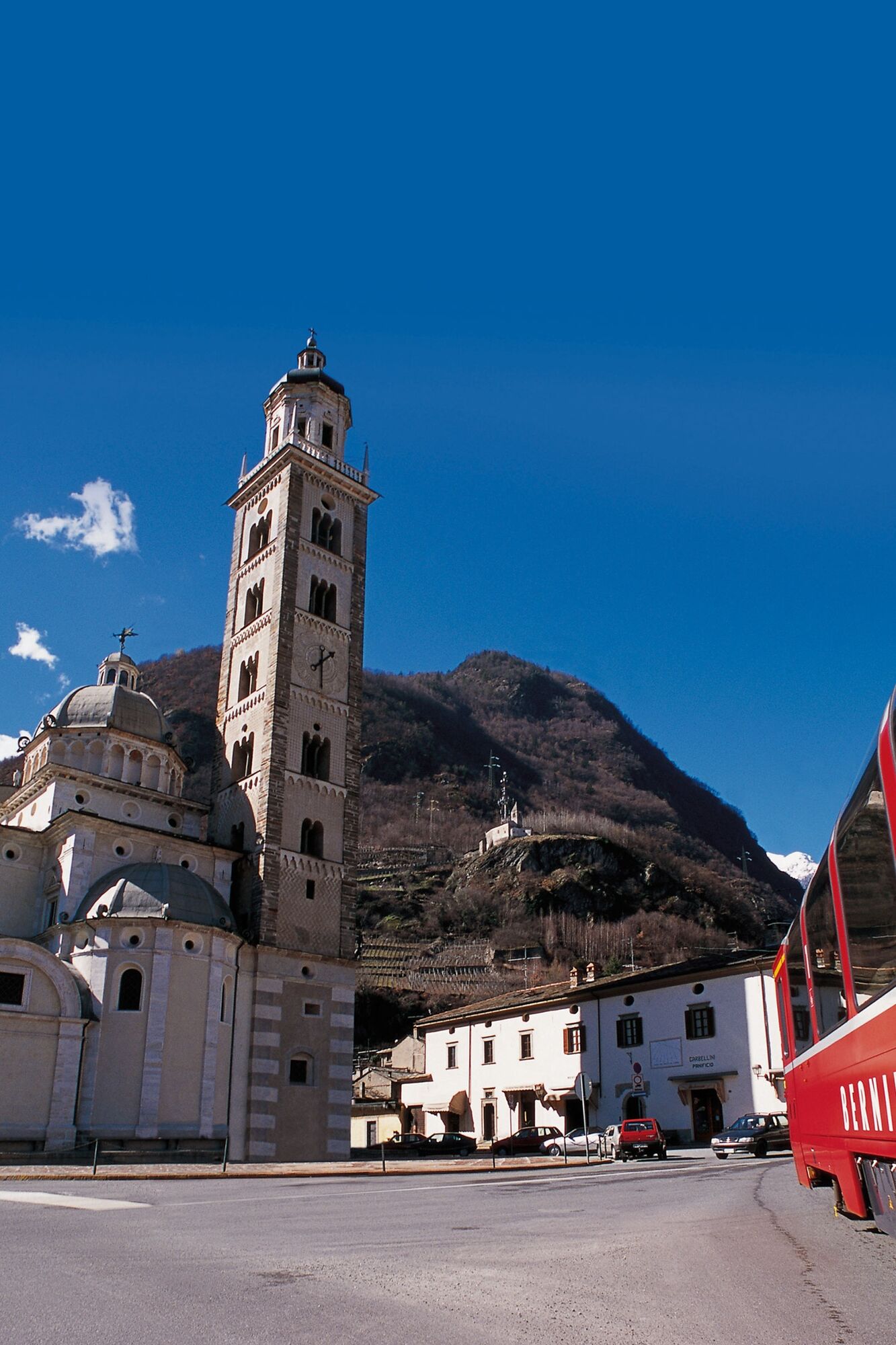
Tirano (IT)
- Höhenprofil
-
 © outdooractive.com
 - Ausrüstung
-
Ausweispapiere mitnehmen, da die Route grenzüberschreitend ist.
- Tipps
-
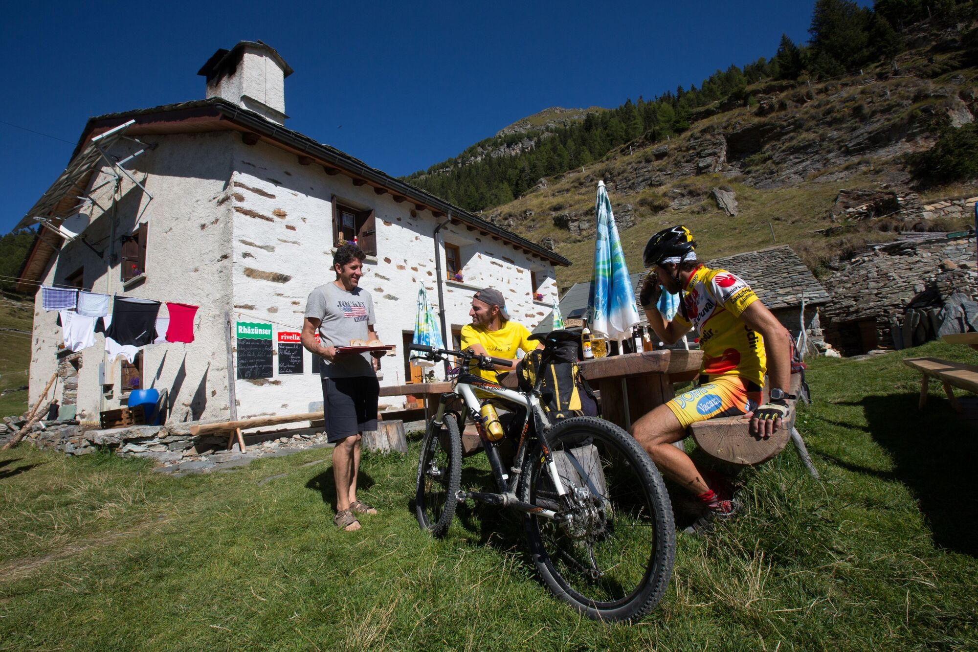
Ausweispapiere mitnehmen, da die Route grenzüberschreitend ist. Ausserden kann ab Poschiavo die Etappe auf Voranmeldung mit einem Taxi (Alpentaxi) verkürzt werden.
- Zusatzinfos


-

-
AutorDie Tour 32.05 Poschiavo - Tirano, Trans Altarezia Bike wird von outdooractive.com bereitgestellt.