Tourdaten
3,39km
1.280 - 1.938m
Distanz
658hm
Aufstieg
02:30h
 
Dauer
Kurzbeschreibung

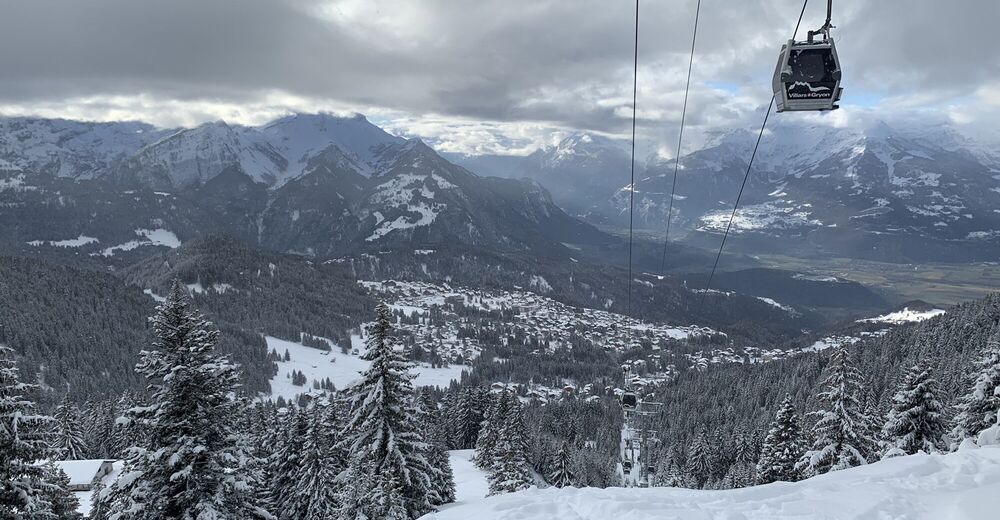
Lovely tour up to the Roc d’Orsay.

Schwierigkeit
mittel
Bewertung
Technik
Kondition
Landschaft
Erlebnis
Ausgangspunkt

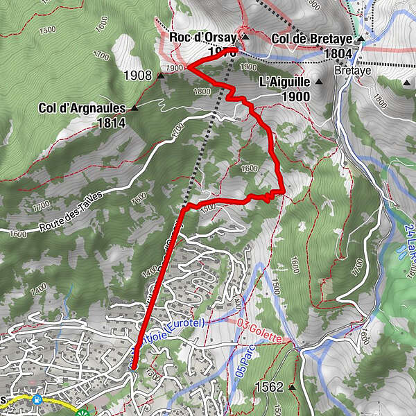
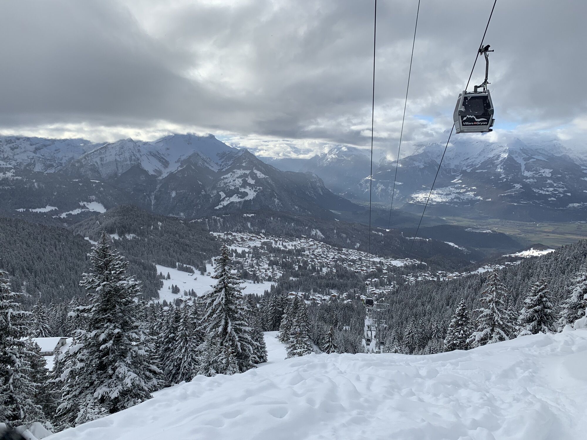
The departure is located at the base station of the Roc d'Orsay gondola.
Enter the gondola building (1st floor) and go up to the start of this route.
There is a large free car park at the foot of the cable car.

Wegverlauf
Roc d'Orsay (1.976 m)
3,4 km
Le Roc 2000
3,4 km


Beste Jahreszeit
Aug
Sep
Okt
Nov
Dez
Jan
Feb
Mär
Apr
Mai
Jun
Jul
Höchster Punkt
Roc d’Orsay (1.938 m)

Quelle
PJ

Gesamtbewertung

5

0

%

4

0

%

3

0

%

2

0

%

1

0

%

Error
Ein Fehler ist aufgetreten. Bitte versuche es erneut.
Vielen Dank für deine Bewertung

Bewertung wurde gelöscht

GPS Downloads
  • GPX GPS Exchange Format (XML)
  • KML Google Earth, Google Maps
QR Download Codes für Mobiltelefone

Beliebte Touren in der Umgebung

Le Sommet des Diablerets (3210 m ü. M.)

schwer Skitour
3,33km | 383hm | 01:14h

Gsteig - Walliser Wispile (1982 M.ü.M)

mittel Skitour
5,18km | 796hm | 02:20h

Glacier 3000 - Arpelistock (3036 M.Ü.M)

schwer Skitour
9,72km | 781hm | 02:19h

Lauenen – Walliser Wispile (1982 M.ü.M)

mittel Skitour
4,62km | 732hm | 02:04h