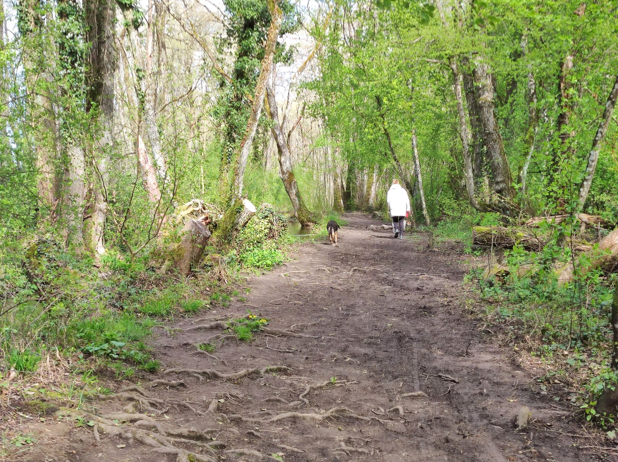
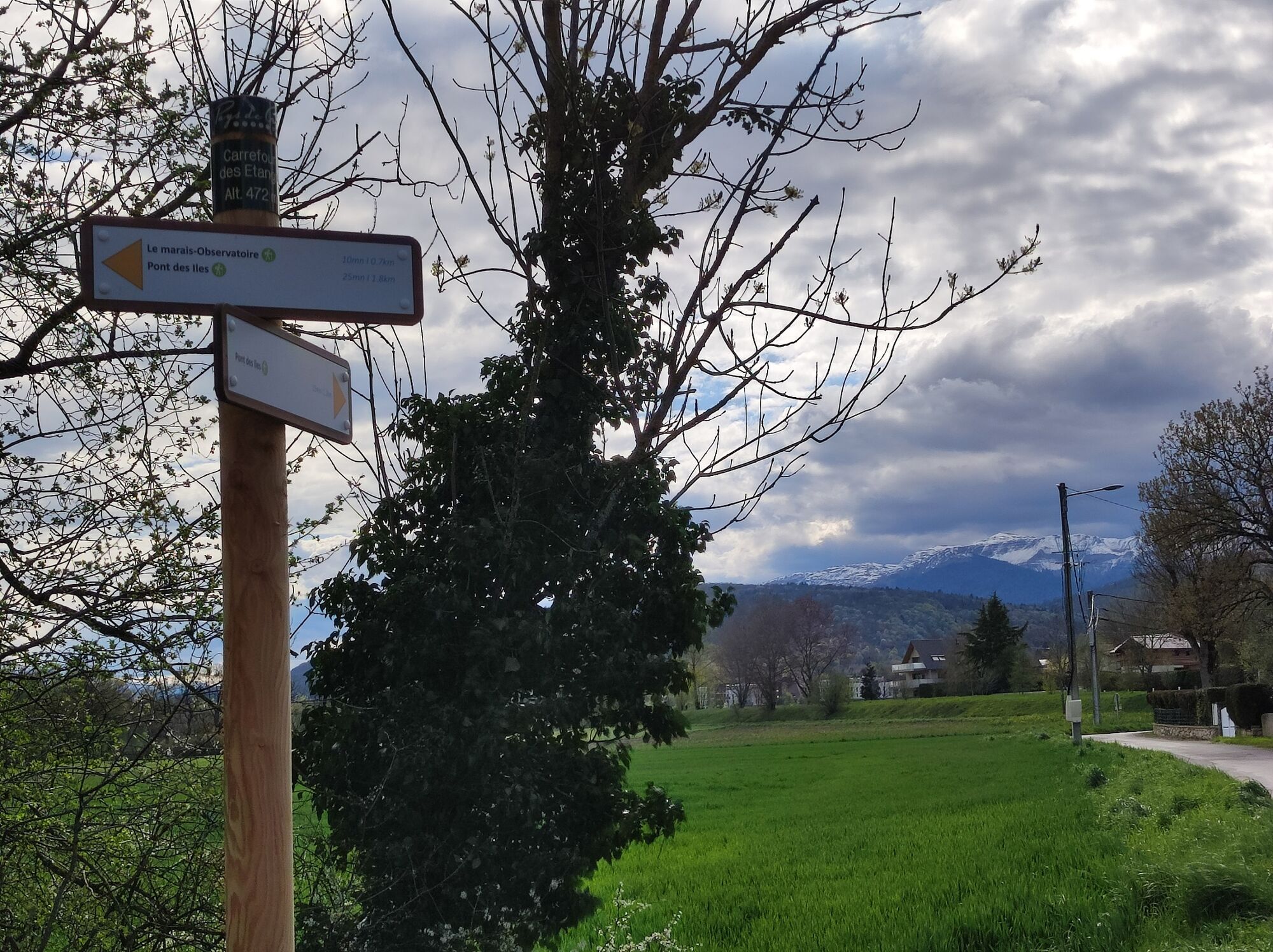
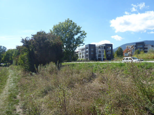
Family hike : Divonne les Bains - Le Marais des Bidonnes

Themenweg

© Pays de Gex et sa Station Monts Jura - Anne-Marie Barbe

© Pays de Gex et sa Station Monts Jura - Anne-Marie Barbe

© Pays de Gex et sa Station Monts Jura - Anne-Marie Barbe

© Pays de Gex et sa Station Monts Jura - Anne-Marie Barbe

© Pays de Gex et sa Station Monts Jura - Anne-Marie Barbe

© Pays de Gex et sa Station Monts Jura - Anne-Marie Barbe

© Pays de Gex et sa Station Monts Jura - Anne-Marie Barbe

© Pays de Gex et sa Station Monts Jura - Anne-Marie Barbe

© Pays de Gex et sa Station Monts Jura - Anne-Marie Barbe

© Pays de Gex et sa Station Monts Jura - Anne-Marie Barbe

- Kurzbeschreibung
-
Since 1265, the Coppet or "Crans" canal has carried part of the water from the Versoix ( Divonne's name in Switzerland) to the Boggy and Commugny communes.
- Schwierigkeit
-
leicht
- Bewertung
-
- Wegverlauf
-
Divonne-les-BainsPain Loup1,8 kmDivonne-les-Bains2,8 km
- Beste Jahreszeit
-
JanFebMärAprMaiJunJulAugSepOktNovDez
- Höchster Punkt
- 474 m
- Zielpunkt
-
Divonne les Bains
- Höhenprofil
-
 © outdooractive.com


-

-
AutorDie Tour Family hike : Divonne les Bains - Le Marais des Bidonnes wird von outdooractive.com bereitgestellt.
GPS Downloads


Allgemeine Infos
Heilklima
Flora
Weitere Touren in den Regionen
-
Haute-Savoie
865
-
Nyon Region
208
-
Crassier
78